
View our beaches
Methodology
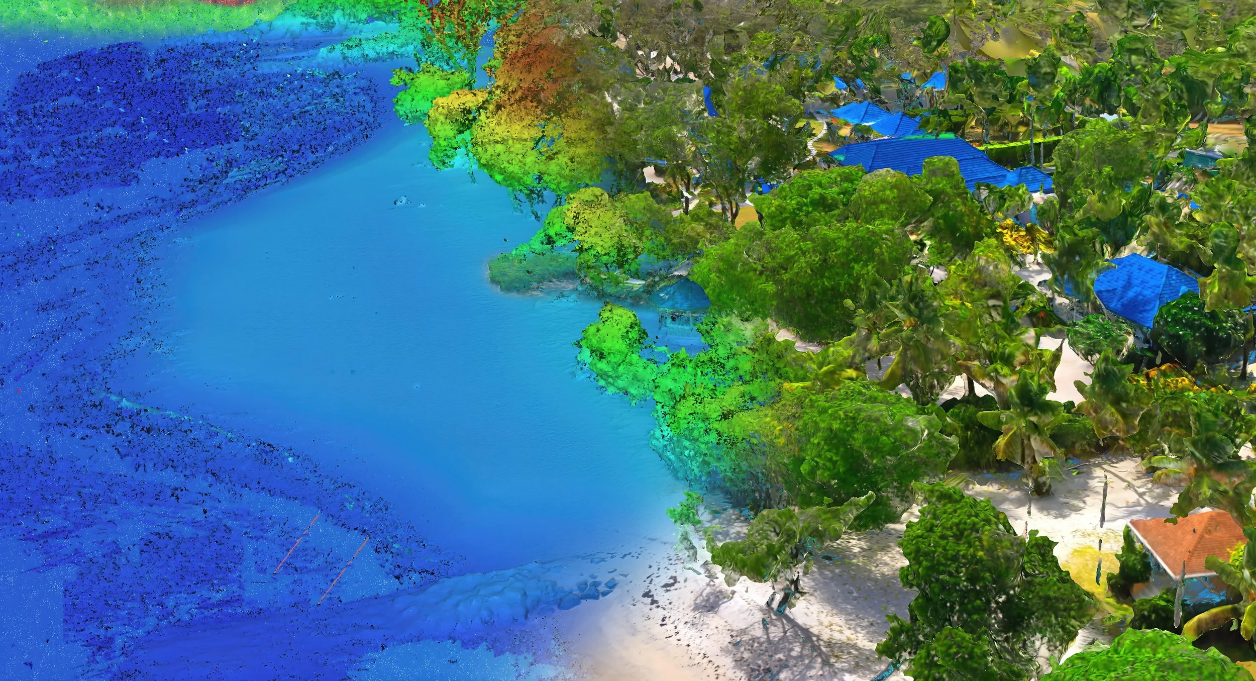
This page outlines the process behind the coastal monitoring work, showing how each beach is captured, processed and compared over time. The examples below include orthographic views, elevation models and other outputs used to review beach condition and visible change between survey dates.
Compare Scans
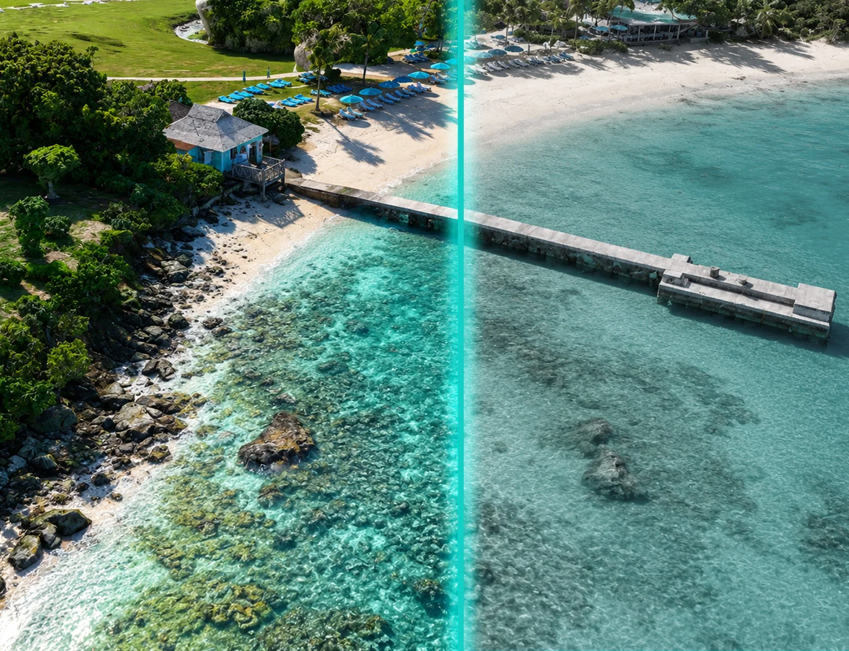
The 3D comparison viewer places two beach scans side by side, allowing changes in beach shape, surface condition and surrounding features to be reviewed between survey dates. As the models are detailed and processing-heavy, this tool is best viewed on a desktop device.
Interactive Map
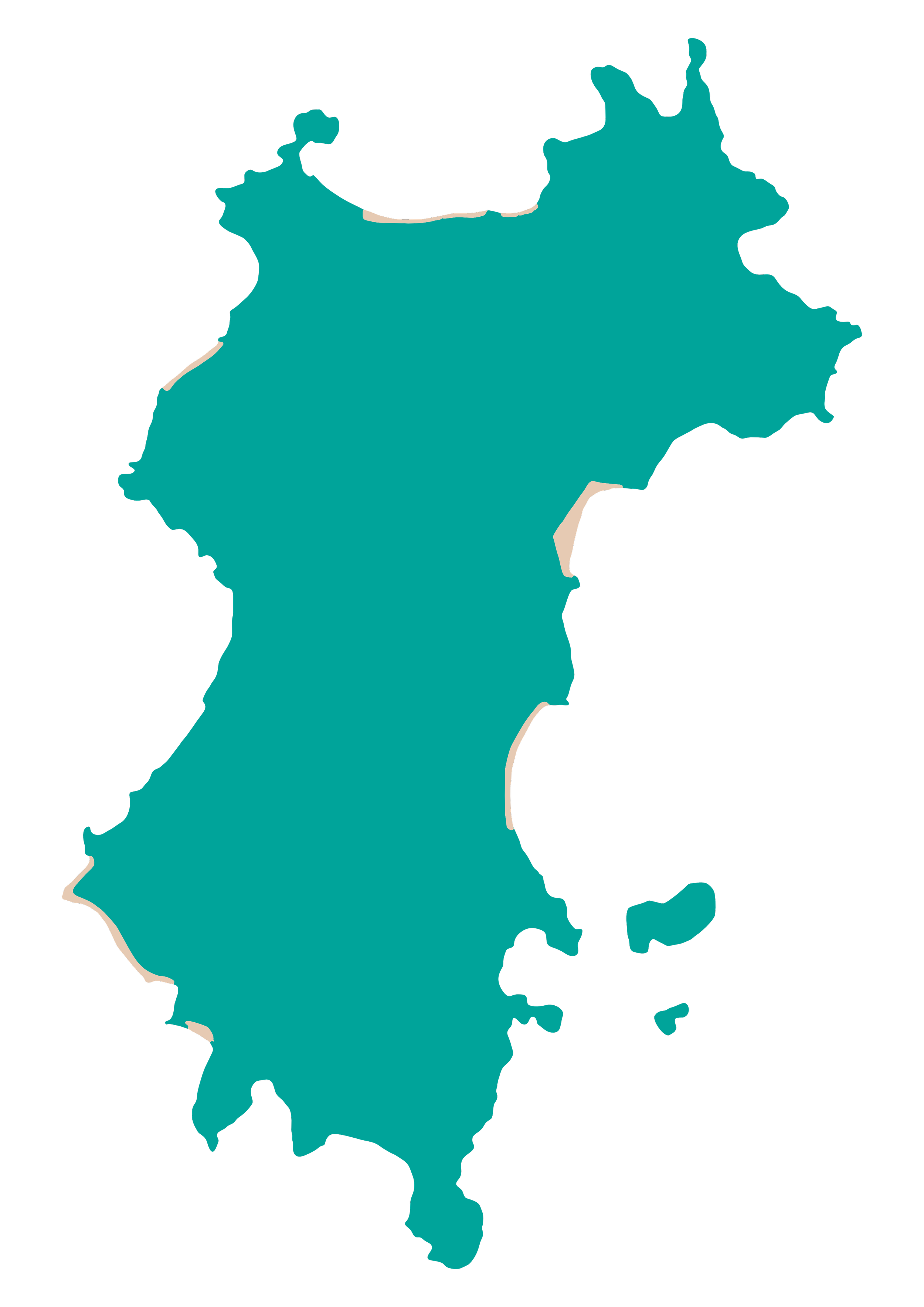
Use the interactive map to explore selected beaches around Mustique and open each scan as a 3D model. Designed for easy public access, this viewer provides a simple way to experience the island’s coastline and view each beach in greater detail.